Creating research-ready results maps
You can now map the results of specific queries made using the faceted browser, which can be used for research purposes. Anything in the database that is attached to a place can potentially be mapped, including people, sources, and factoids. This page will show you examples to get started.
Displaying people results
Press the Browse tab and make sure it is set to display People and Institutions. Select any option from a facet that you want. For example, if you select the forename 'Duncan', you will see 'Show mappable results' at the top of the list of results. If you click it, you will be presented with this map:
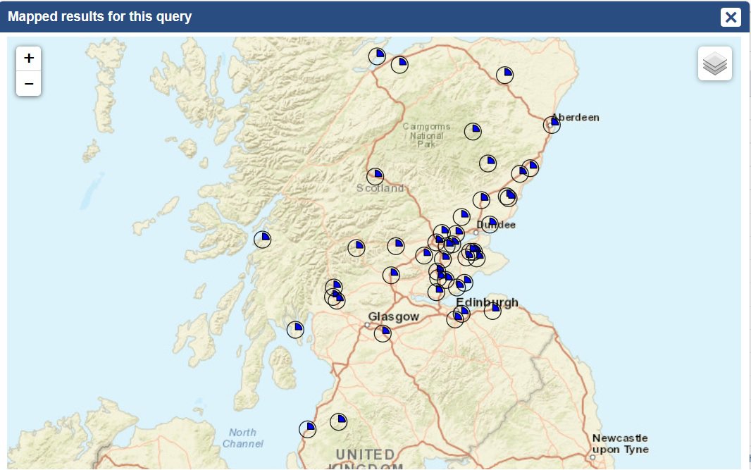
This will show you any places associated with that people named Duncan. If you click on an individual item, you can then see the justification for why that person was associated with that place.
You can try the same for anything in the faceted browser. Titles and occupations is a particularly interesting area. The following is a results map of people with the title of 'knight'.
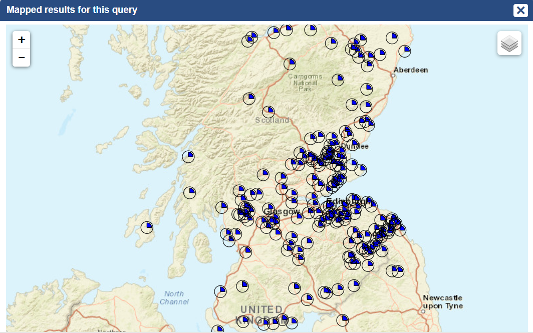
You could then refine this search, for example, to results with a Source Date Range of 1165-1214 (the reign of William the Lion). That would produce the following map:
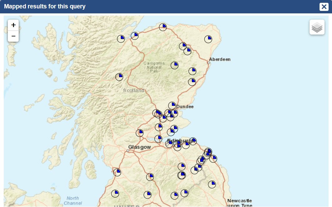
Comparison with the results from documents dating to the reign of his successor, Alexander II, by removing the 1165-1214 filter and selecting the period 1214-1249, yield the following:

Comparing the two maps gives a clear visual representation of the phenomenon of more and more people calling themselves knights in charters.
Displaying source results
If you clear any filters and go to the top of the faceted brower and select the Sources option, places associated dierctly with sources will now display on the maps instead of persons. Place-dates of documents (i.e., where charters were written) are the only evidence directly associated with documents. In other words, these maps display the place-dates of documents.
If you choose the facet for Institutions and select Melrose Abbey, you will see the place-dates of documents dealing with Melrose:
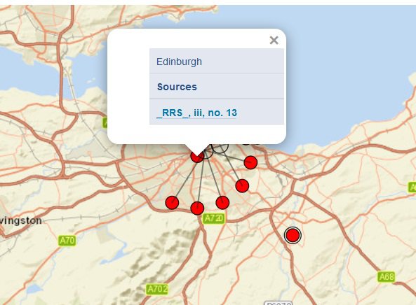
If you zoom in and click on a dot, if multiple documents were written there, they will expand to show you more detail. This is what happens when you click on Edinburgh:

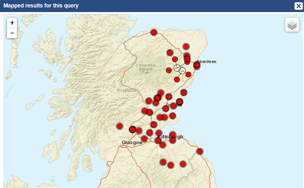
If we try the same thing, but this time with Arbroath Abbey, we can easily see that more of its documents were produced north of the Firth of Forth, as compared with Melrose Abbey:
Displaying factoid results
Set the faceted browser to 'searching for: factoids' at the top of the page. There are hundreds of opportunities to map out all sorts of fascinating dimensions of Scottish society this way, especially when one combines search terms using the 'refine search' option.
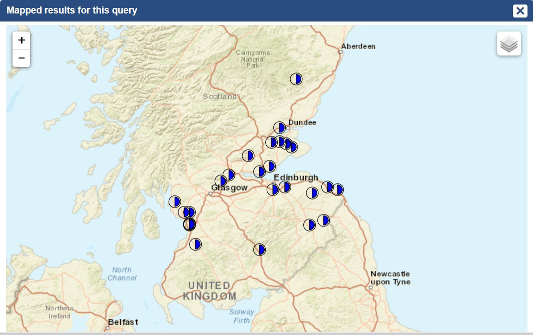
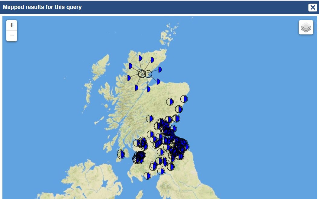
For example, if you go to the 'Nominal Renders' facet under 'Terms of Tenure' and click on 'gloves', you can immediately access a map showing you where all the places in the charters which owed gloves as an annual render were located.
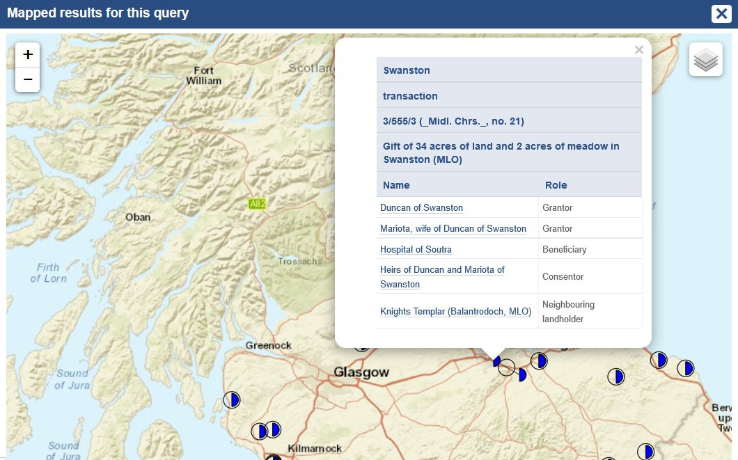
Clicking on any of the blue wedges will give further details about the transaction:
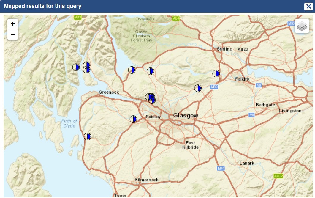
The possibilities for creating research-relevant maps in this way are extraordinary. Here is a map of lands that owed their renders at Glasgow fair every year:
Here is a map of lands on which the service of one knight was owed:
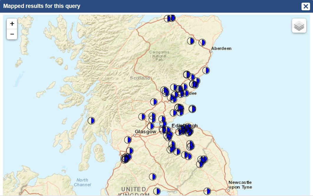
Here is a map of lands on which the service of a fraction of a knight was owed:
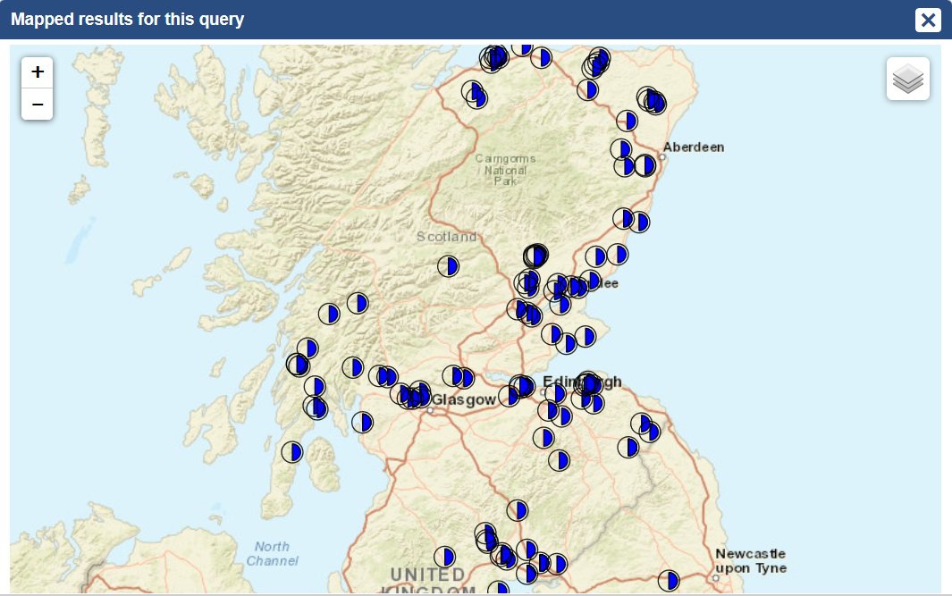
Sometimes there are too many results for the maps to be very effective. We can map all the lands (and churches) given in free alms tenure, but there are 2394 factoids.
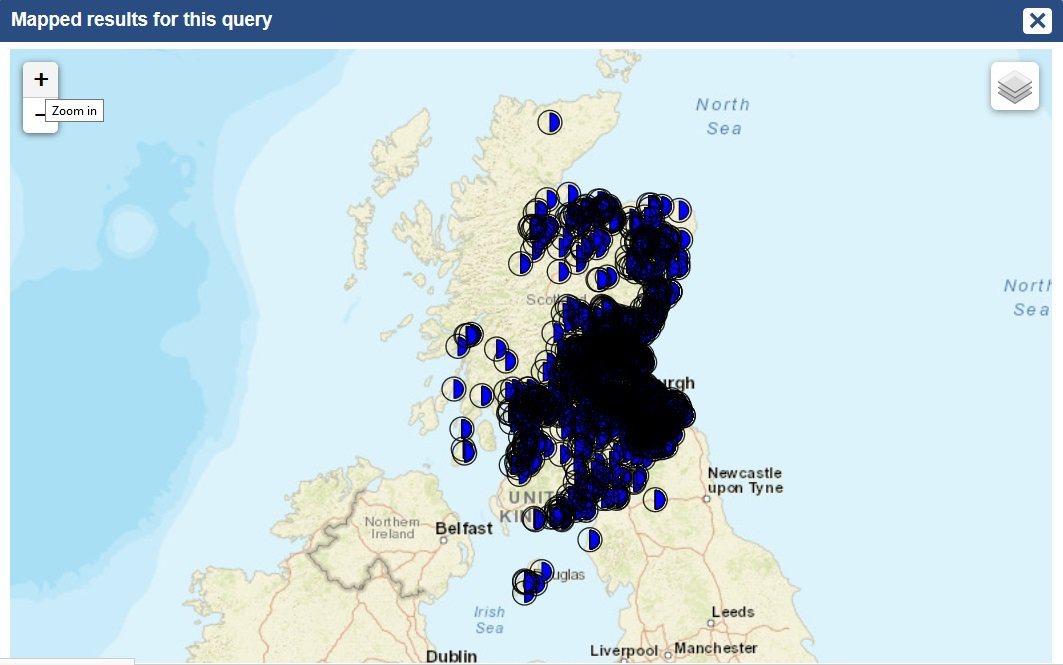
In this sort of situation, you can refine the search in all sorts of ways. For example, using the 'Grantor Category' facet, you can choose to display only those results involving Scottish earls and countesses:
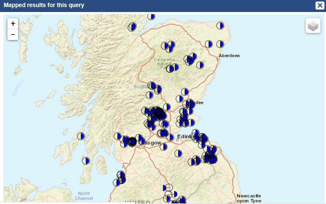
Unsurprisingly, these tend to cluster around the earldoms.
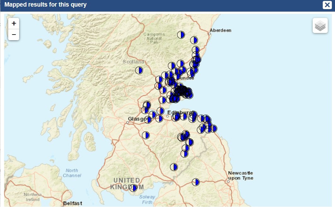
Finally, the following is an example of a combination of multiple search terms.
1. Source date range: 1165-1214 (6605 results)
2. Document type: Charter (5591 results)
3. Document category: Aristocratic and other private (2778 results)
4. Transaction type: Gift (198 results)
The result is a map of all the private gifts made in the reign of King William by charter. This could then be compared to royal gifts in the same period:
Maps with multiple colours displaying
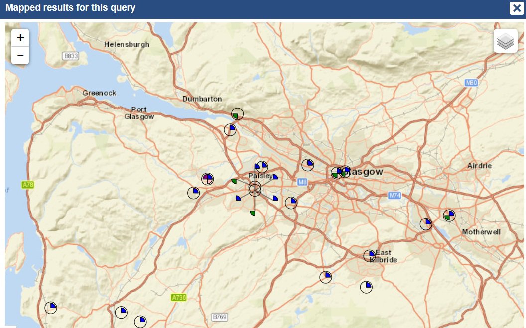
Sometimes, more than one colour will appear on a map. The map below shows a search of the document type 'agreements'. On this map, more than one piece of information could appear on the same place location. Here, institutions are coloured green, men are coloured blue, women are coloured pink and M/F (e.g., unspecified heirs) are coloured maroon.
Colours can also signify different types of factoid. In this example, a map of factoids associated with people who had the surname Fleming, transactions are displayed in blue and possessions are displayed in red.
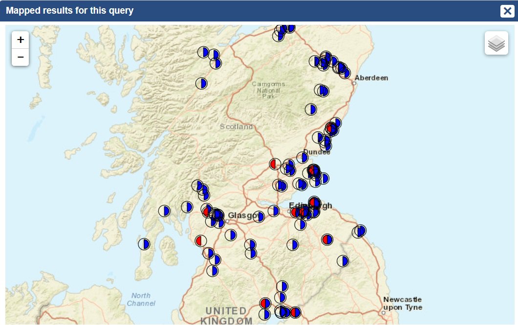
*Note that any results displaying for England are partial.